Campus & service fleets
Carry the sensor on routine journeys. Drivers keep their attention on the road; the proposed system collects observations in the background.
Campus shuttles / service vans / maintenance vehiclesOne network. Every journey.
Your fleet is already on the road.
Make every journey an opportunity to see
what needs attention.
A small sensor.
A clearer view of the road.
RoadRelay is building a road monitoring service around vehicles that already travel the same routes. A service vehicle, campus shuttle or maintenance truck can carry a sensor while its driver gets on with the day.
Impact observations become reviewable evidence for the people who maintain those roads. Repeated signals help a coordinator decide where to inspect, who should respond, and what to check after a repair.
Follow an observationMake routine journeys useful to the people who maintain our roads.
Evidence travels further
when the handoff is clear.
Drivers see the route. Facilities teams know the assets. Contractors do the work. RoadRelay gives each observation a path between them.
We are seeking pilot collaborators. The groups below describe intended users and partners; no signed partnerships are claimed.
Our first pilotCarry the sensor on routine journeys. Drivers keep their attention on the road; the proposed system collects observations in the background.
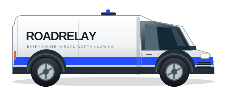
Campus shuttles / service vans / maintenance vehiclesReview repeated signals, assign an inspection, and keep a clear record of what happened next.
Campus facilities / municipal maintenance teamsSee which routes have been observed and where more evidence is needed to inform maintenance planning.
Universities / industrial parks / road authoritiesReceive reviewed work details, record field findings, and return completion evidence to the asset owner.
Inspection crews / pavement repair contractorsA road network where emerging problems reach the right team before disruption grows.
We want everyday maintenance to become more informed and less reactive. In a future disaster response, that same network could help teams revisit critical routes and prioritize inspections.
A fleet and a road network.
One accountable operator.
Our first intended customers are campuses and industrial sites that manage both their vehicles and their roads. A bounded route makes it possible to compare observations with real inspections and learn what the signals mean.
Install a small number of sensors, agree on test routes, and compare impact observations against human inspection findings.
A hardware setup fee and recurring software subscription, paid by the site operator. Validate the value of inspection prioritization before expanding into municipal fleets.
False-alarm rates, location accuracy, useful route coverage, and whether the evidence helps teams choose better inspection priorities.
An MPU6050 and UNO R4 WiFi send the toy-car signal to a local dashboard. Record a pass, inspect the waveform, and assign a local inspection.
Manually selected demo locations stand in for GPS. A separate scenario shows 20 synthetic vehicles. No real-road deployment or detection accuracy is claimed.
A high impact means a suspected road anomaly that needs inspection. Optional AI helps summarize evidence; people make the maintenance decisions.